Test Form - Ehsan
Steffi LaZerte
2024-10-01
Source:vignettes/reports/Ehsan_compare_report_form.Rmd
Ehsan_compare_report_form.RmdDetails
- 0.01 min to run
- /home/steffi/Projects/Business/LandmapR/Runs - FlowMapR/Ehsan original FormMapR output
-
str_val= 200 -
ridge_val= 200
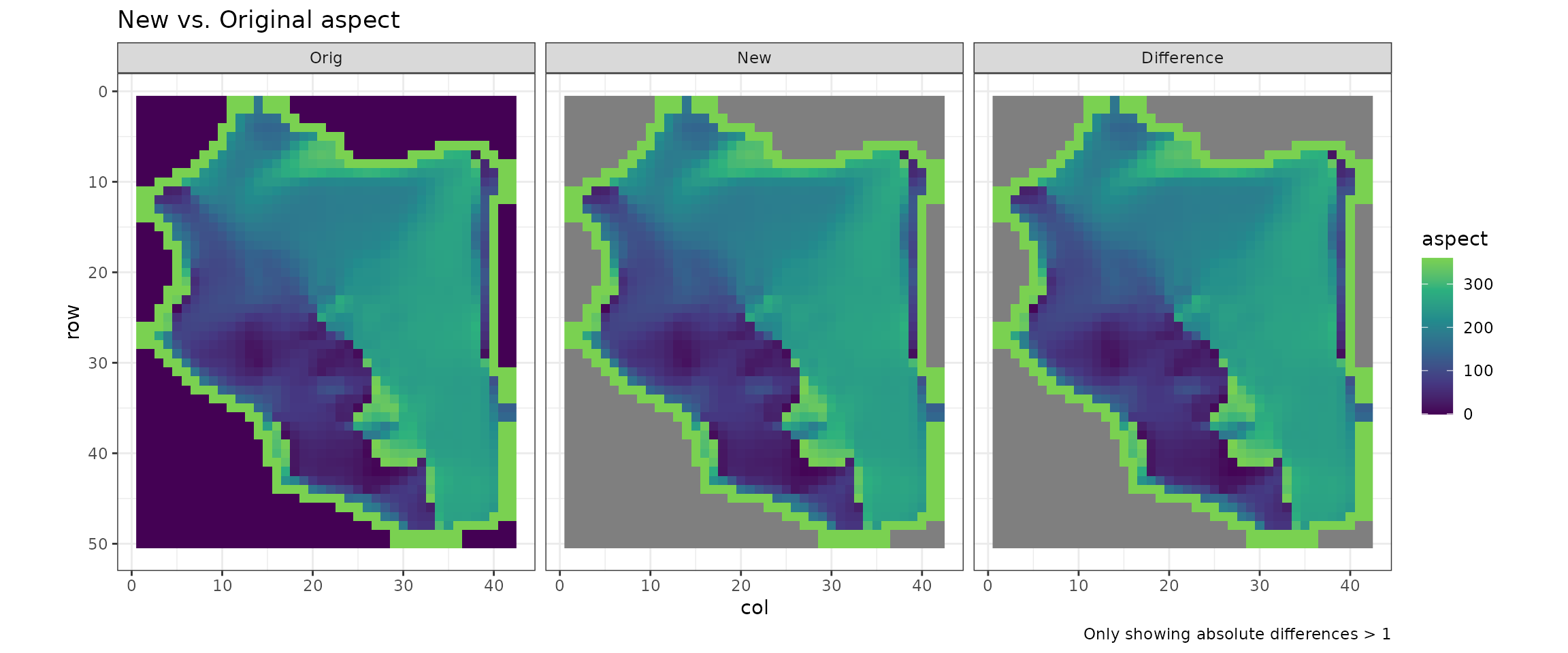
Missing values
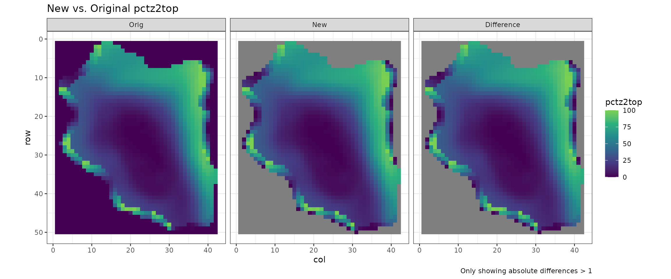
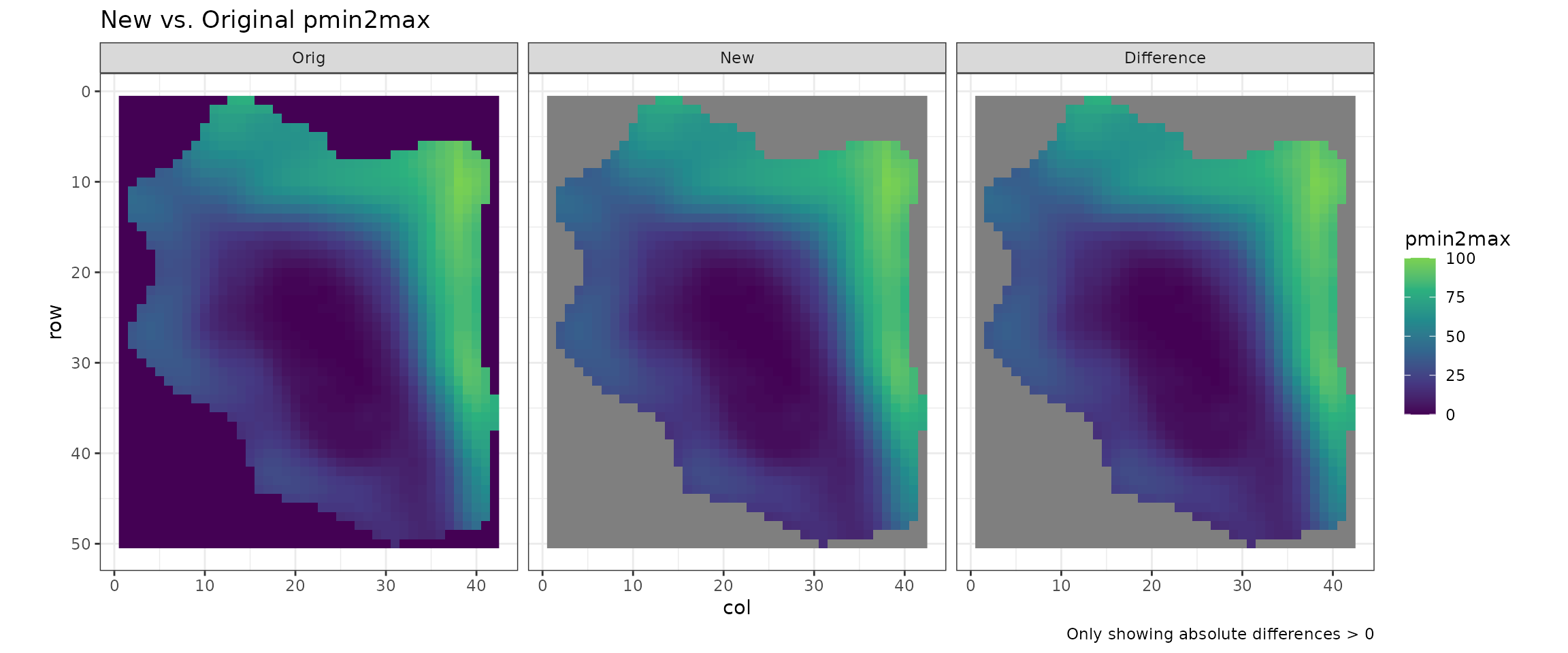
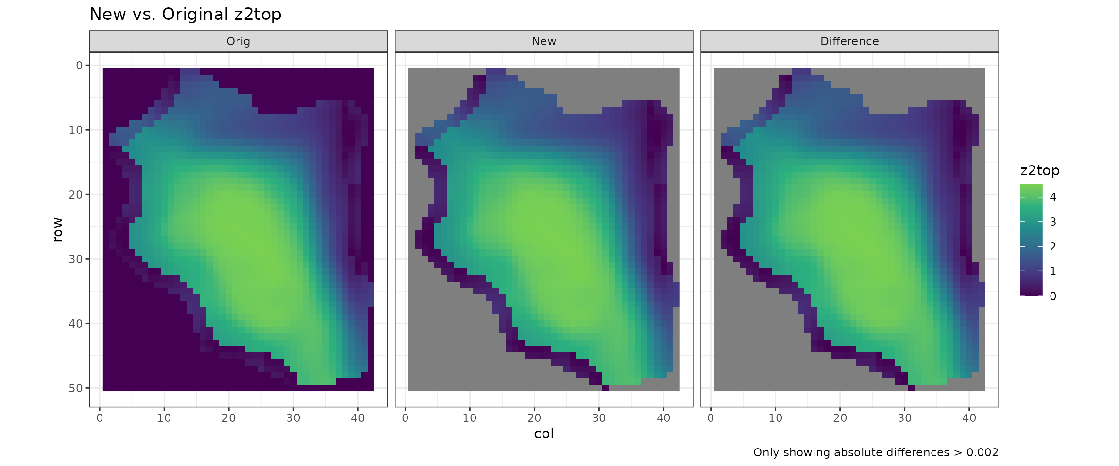
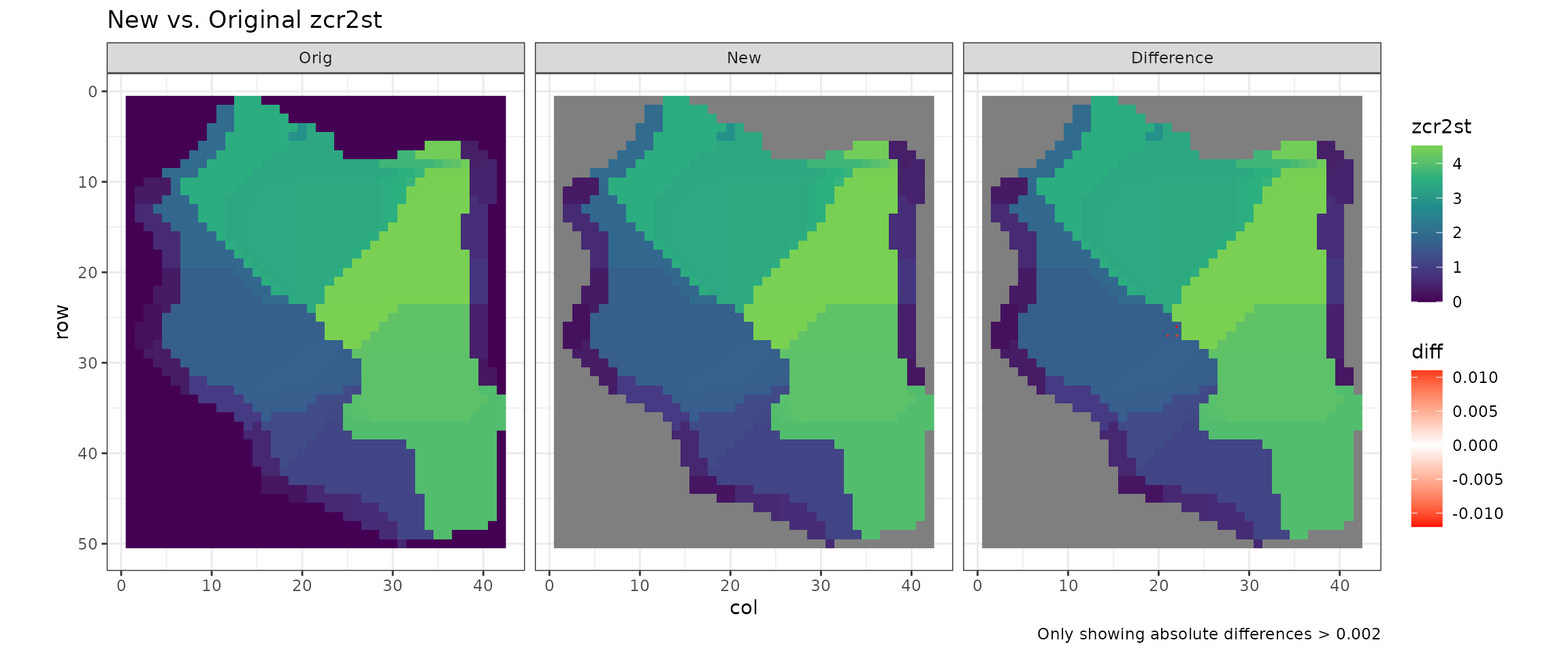
In the original FormMapR, cells with missing elevations were
generally given values of zero or 1. However, in LITAP, they remain as
NA (missing) to more accurately reflect the nature of the
measurement.
By cell or by grid
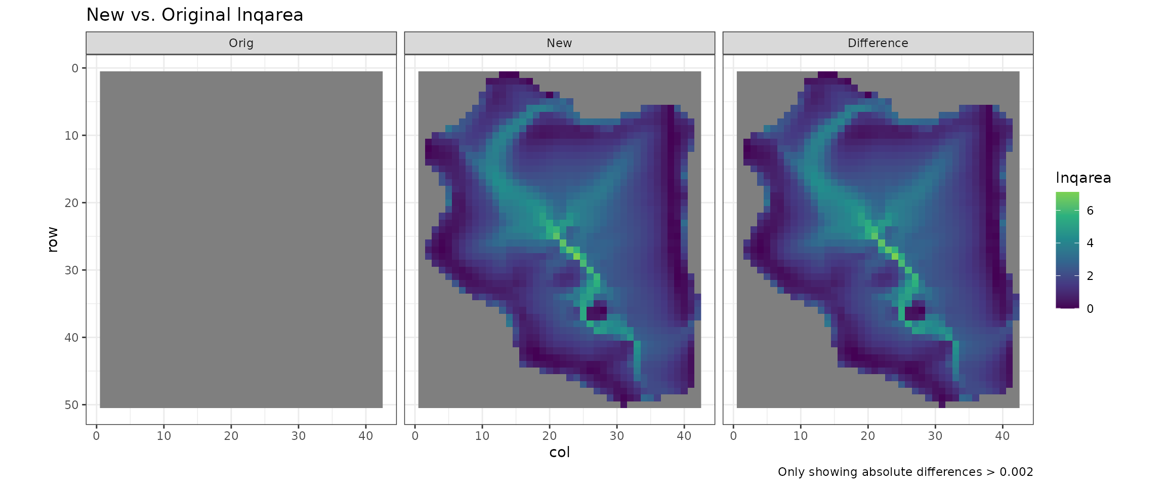
LITAP’s form_mapper() outputs two versions of
qweti, lnqarea, and qarea. The
first ones (compared here), are qweti1,
lnqarea1 and qarea1 in the file
dem_weti. Area in these values is based on the number of
cells. In the other measures (not compared here; qweti2,
lnqarea2 and qarea2), area is based on actual
grid cell area.
qweti1, lnqarea1 and qarea1
are values are compatible with facet_mapper()
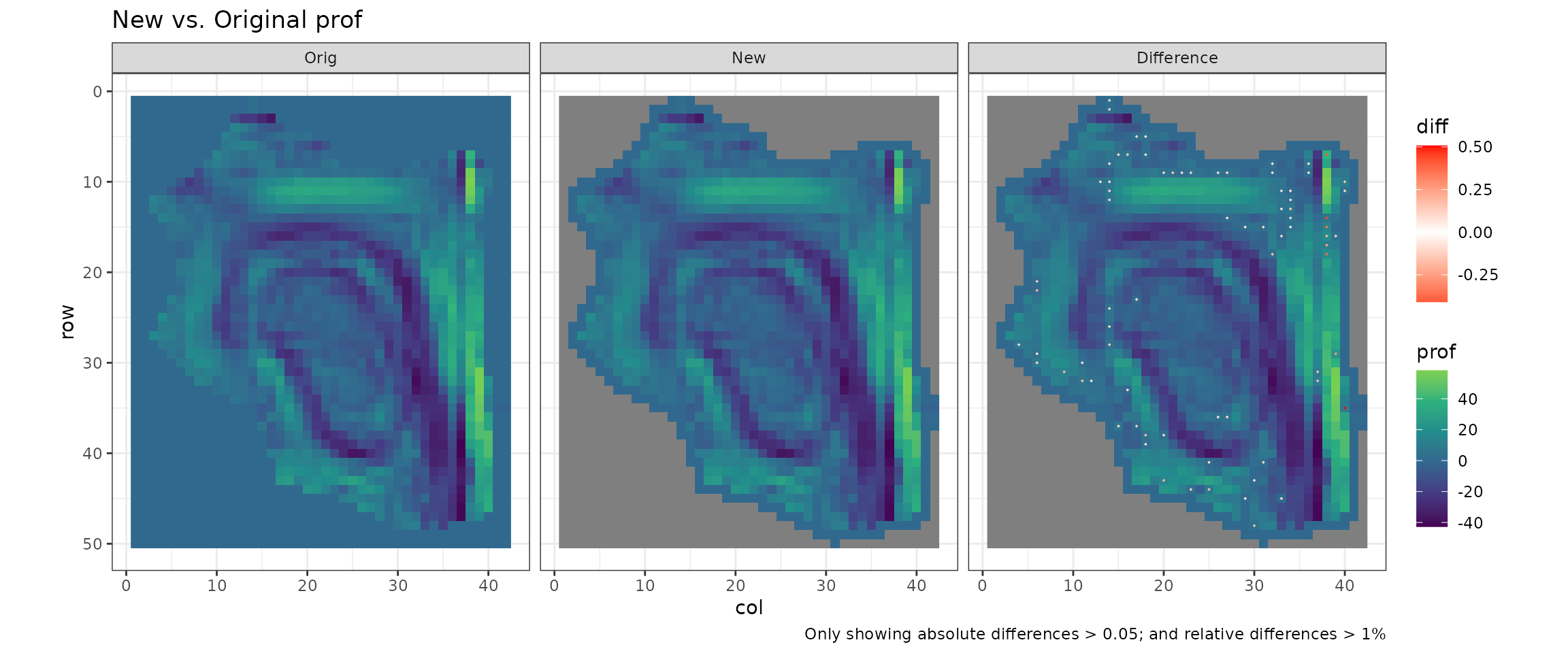
Rounding error
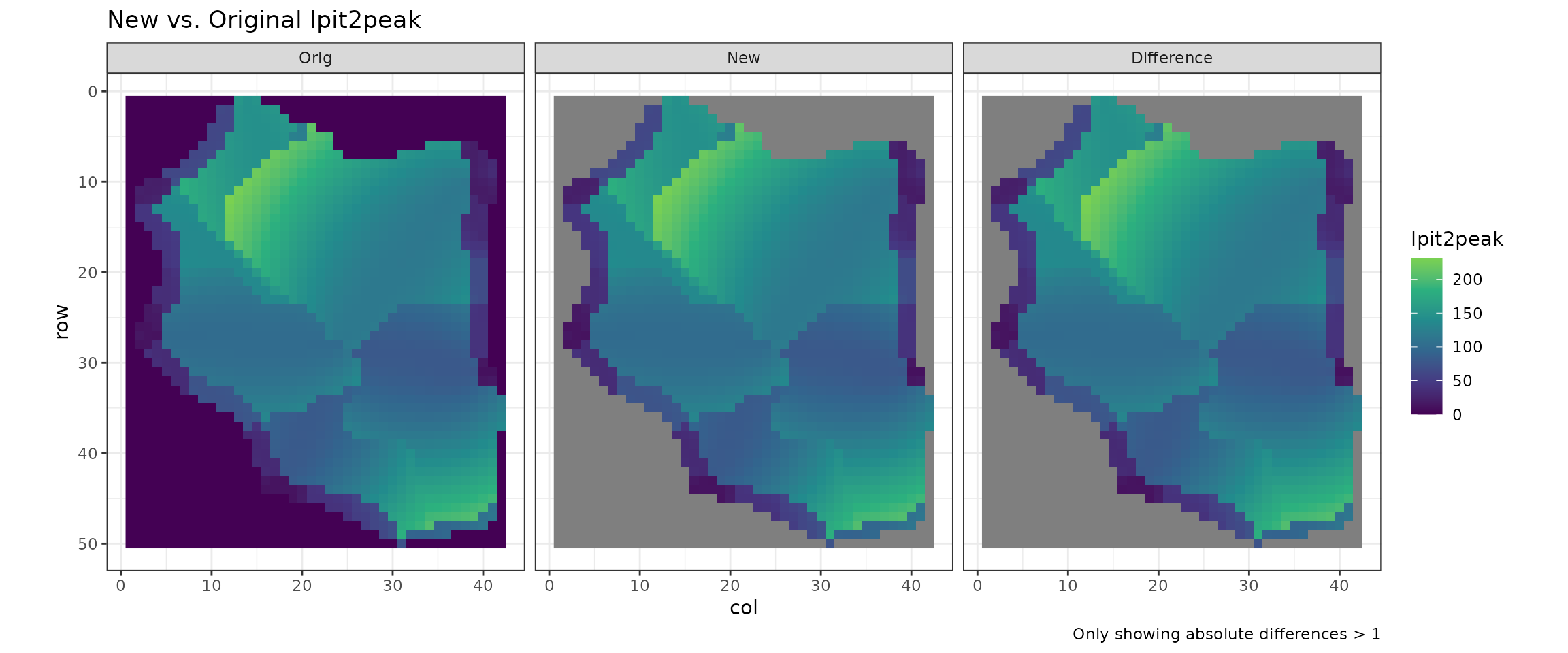
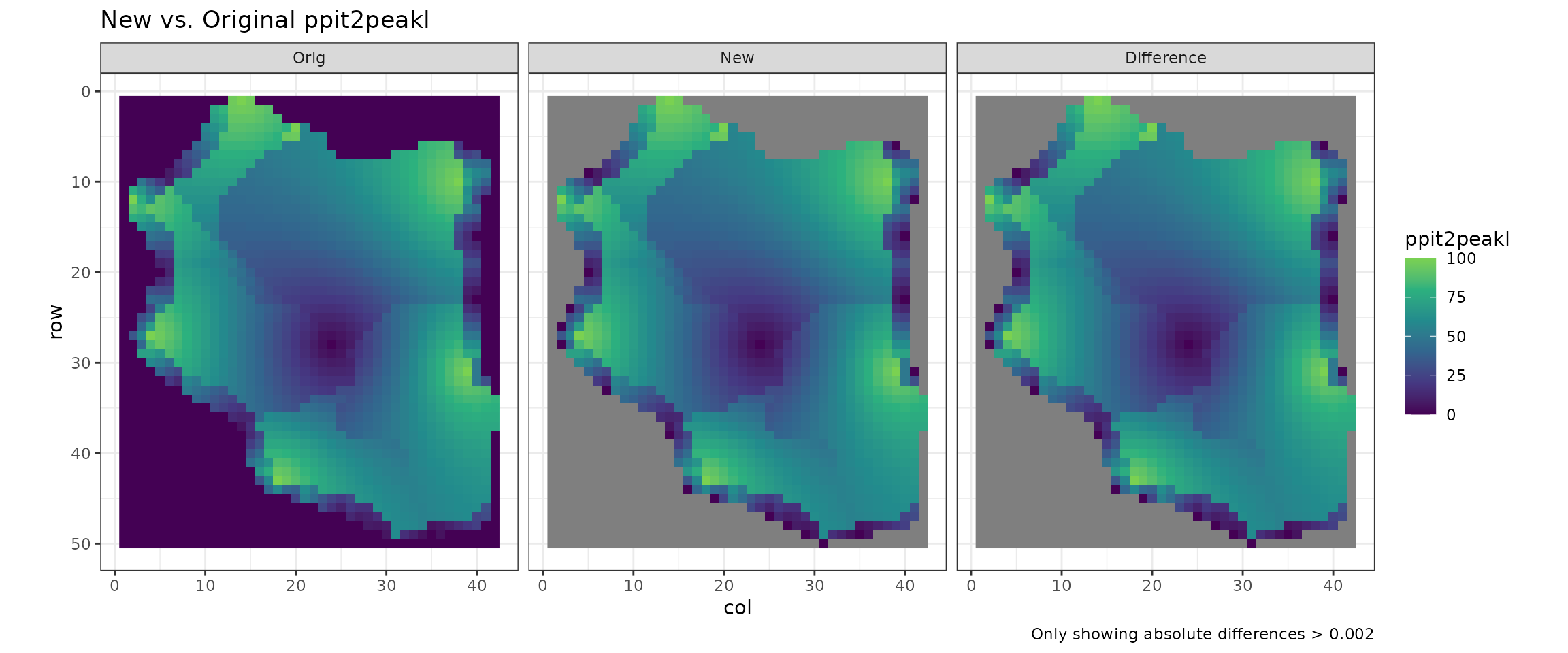
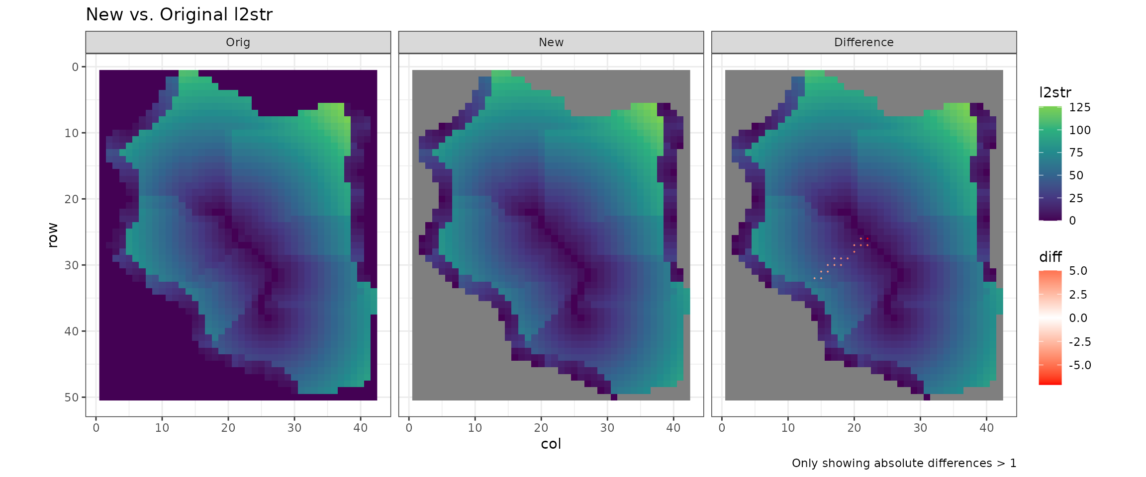
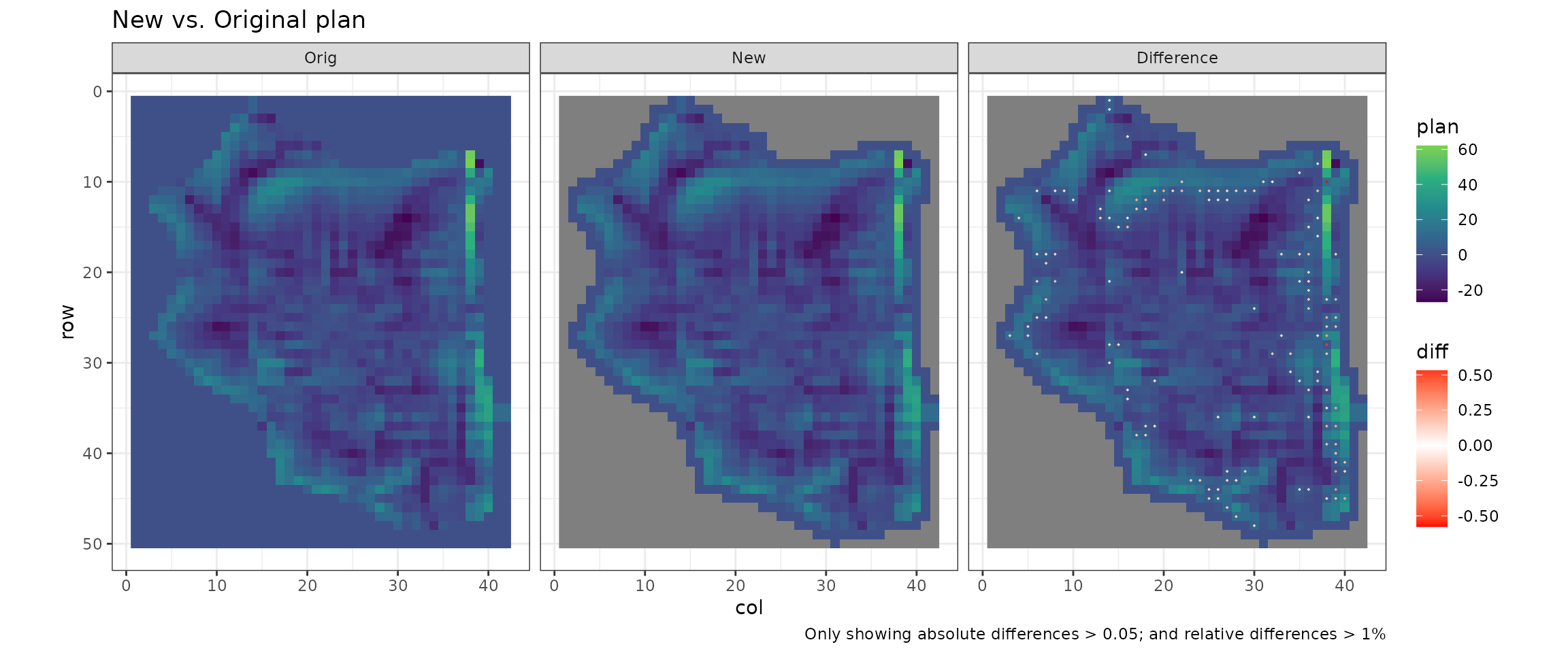
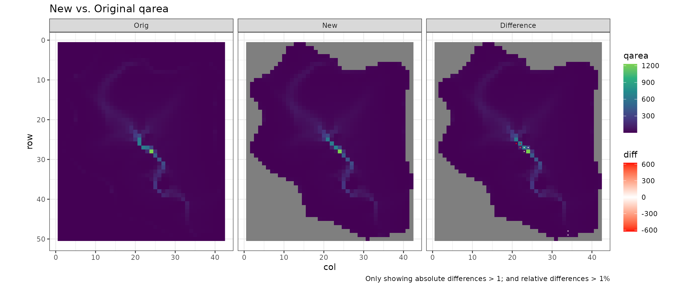
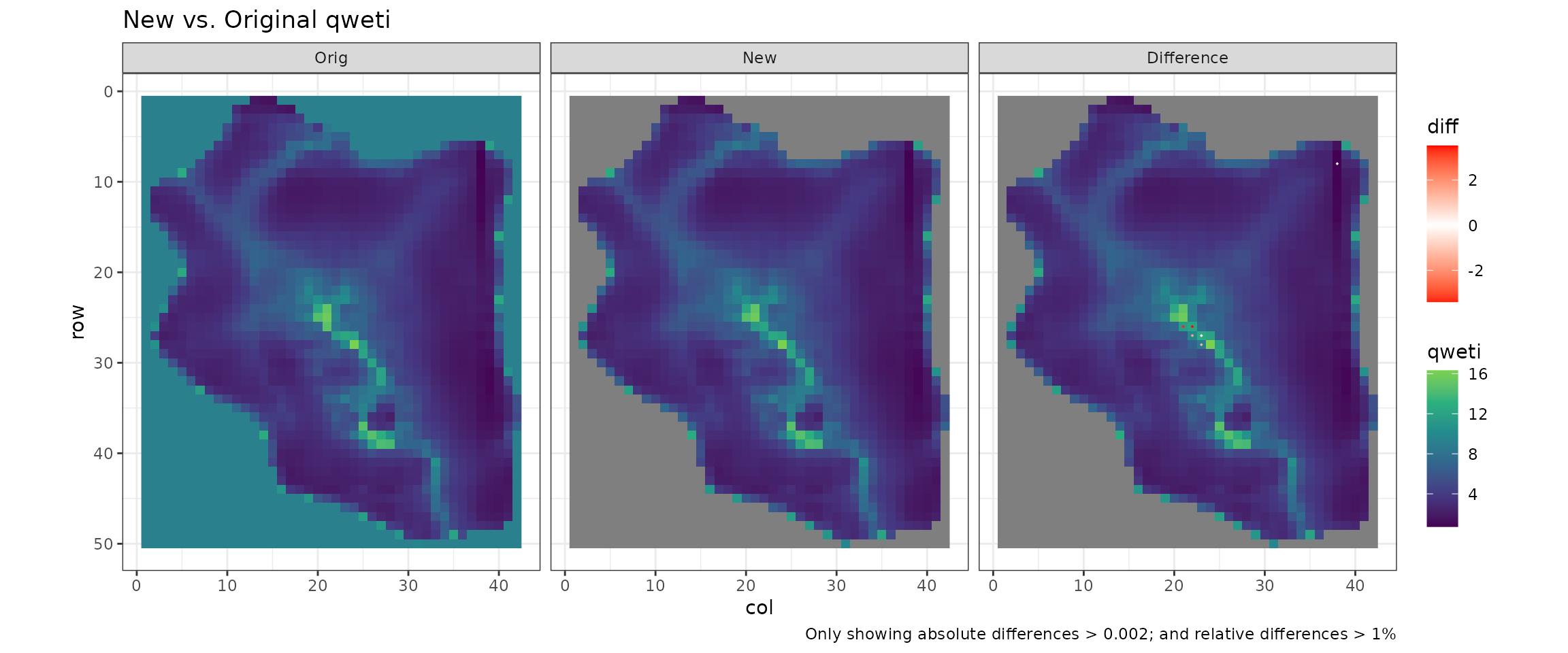
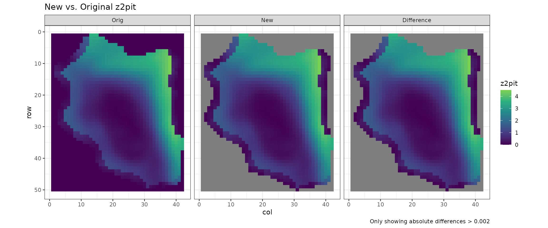
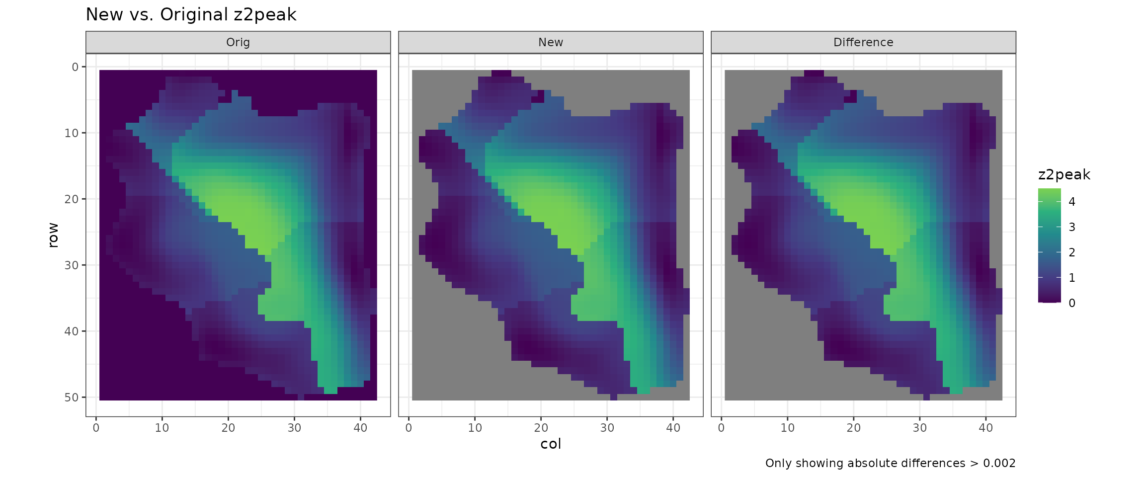
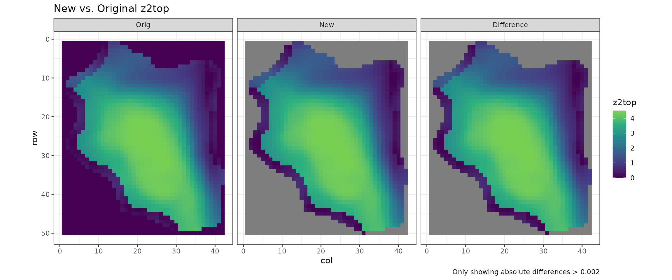
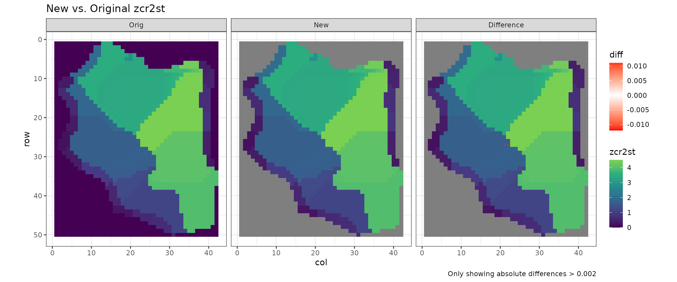
Many calculated values differ by minute amounts due to differences in rounding over long calculations.
-
profandplanare particularly sensitive as they use trigonometry calculations which result in many small discrepancies. -
qareaandqwetialso experience a build of up differences, as they add cell-by-cell and small differences mount up in cells which contain input from many others
However in all cases the are small differences, often resulting in < 1% changes.
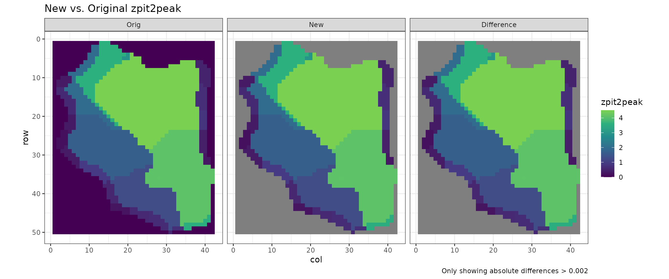
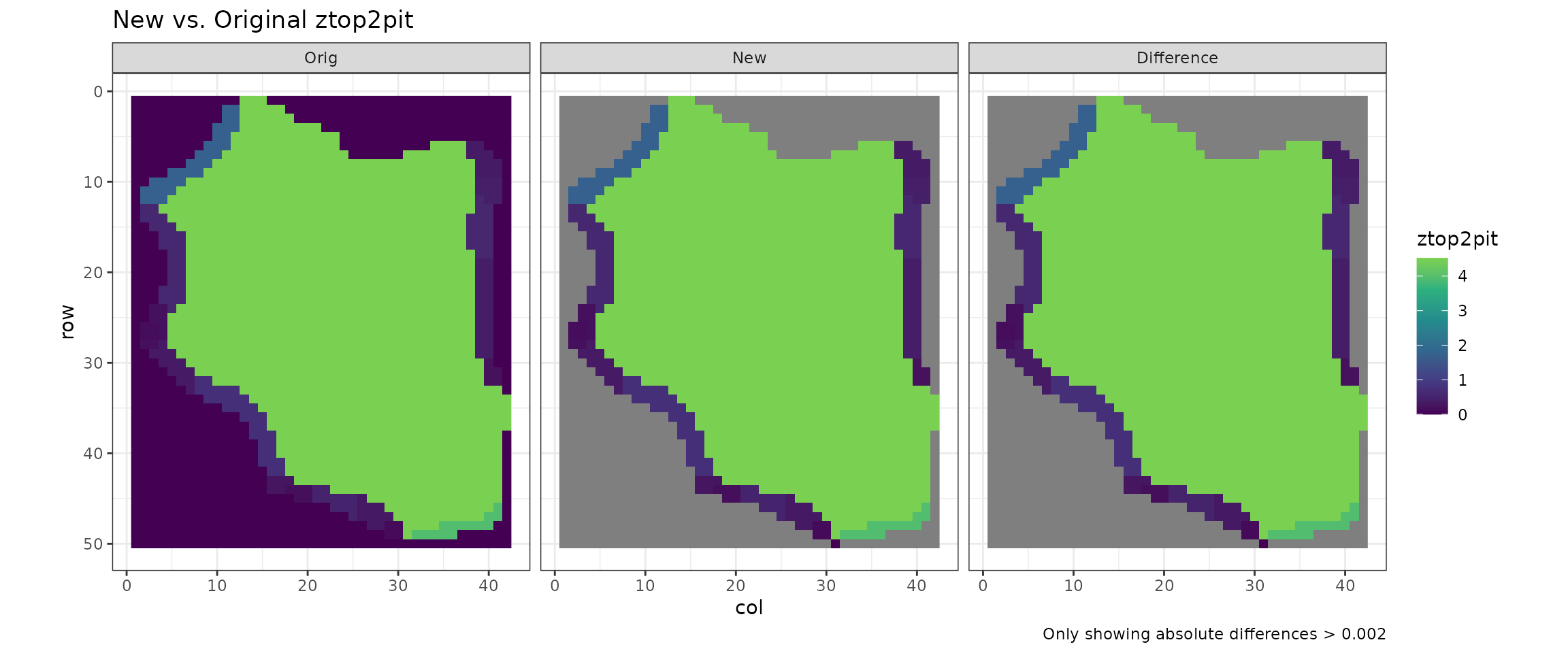
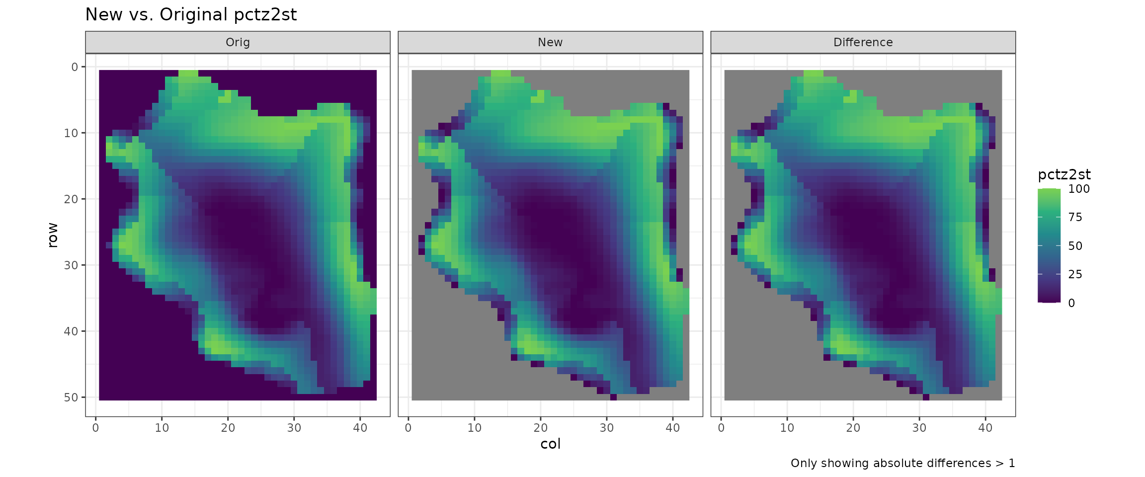
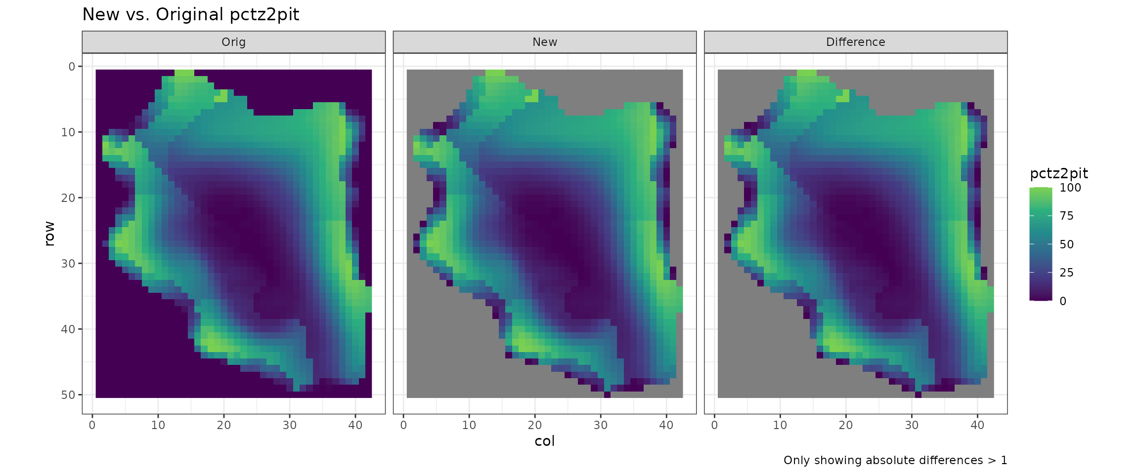
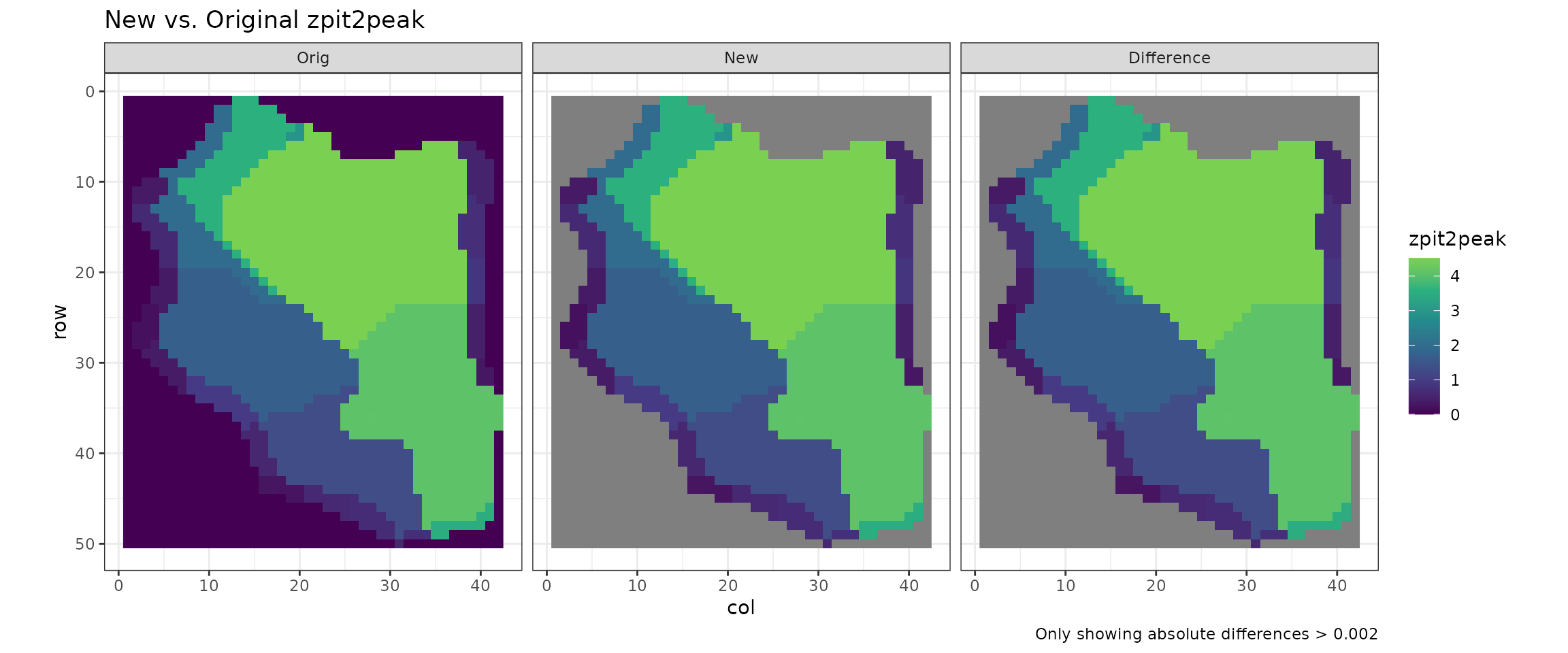
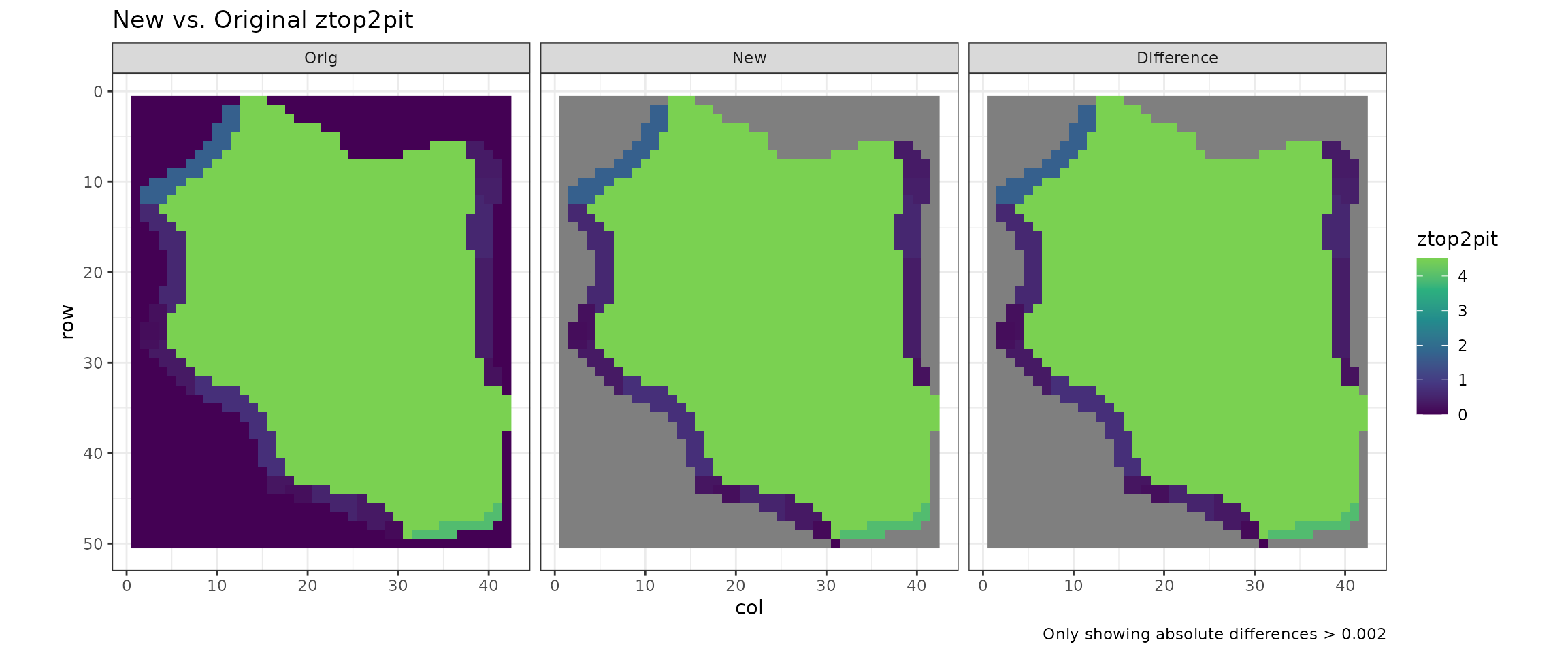
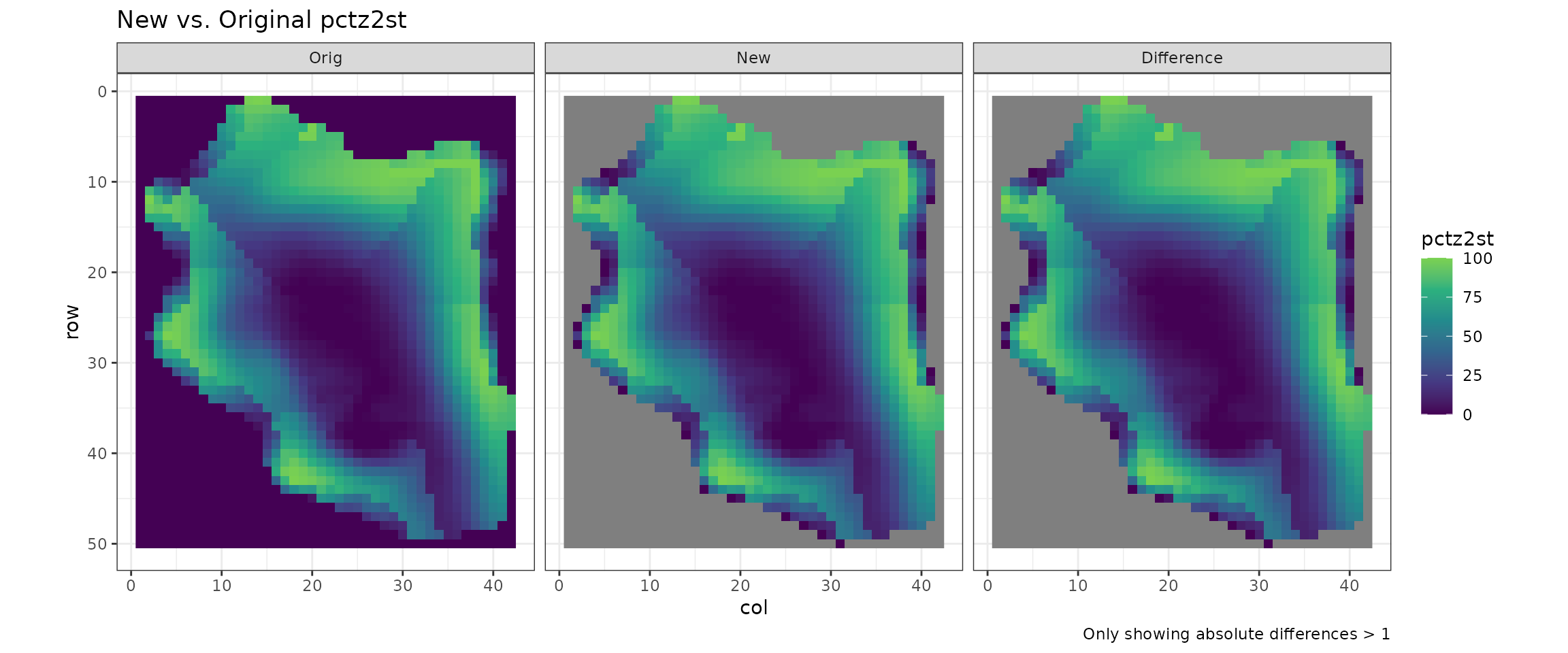
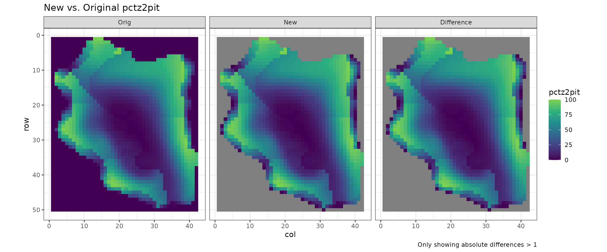
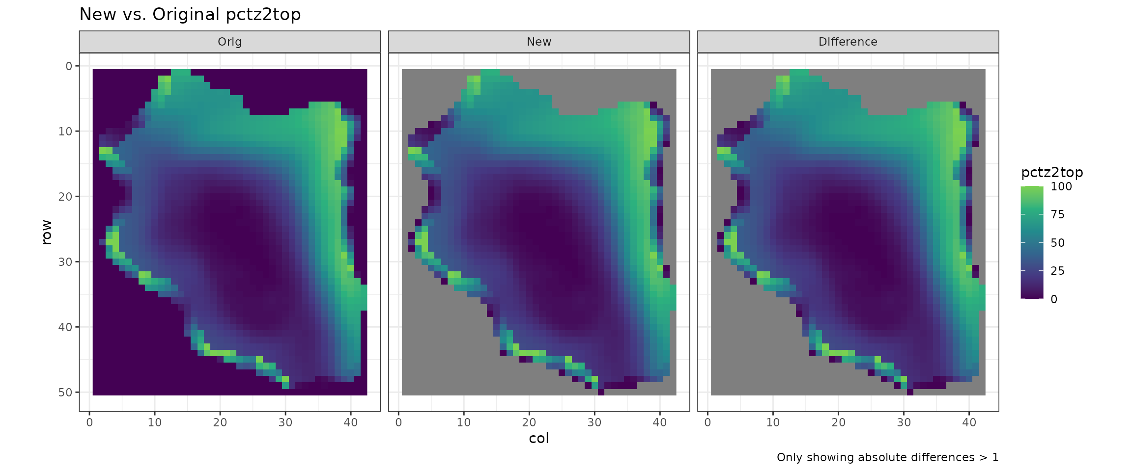
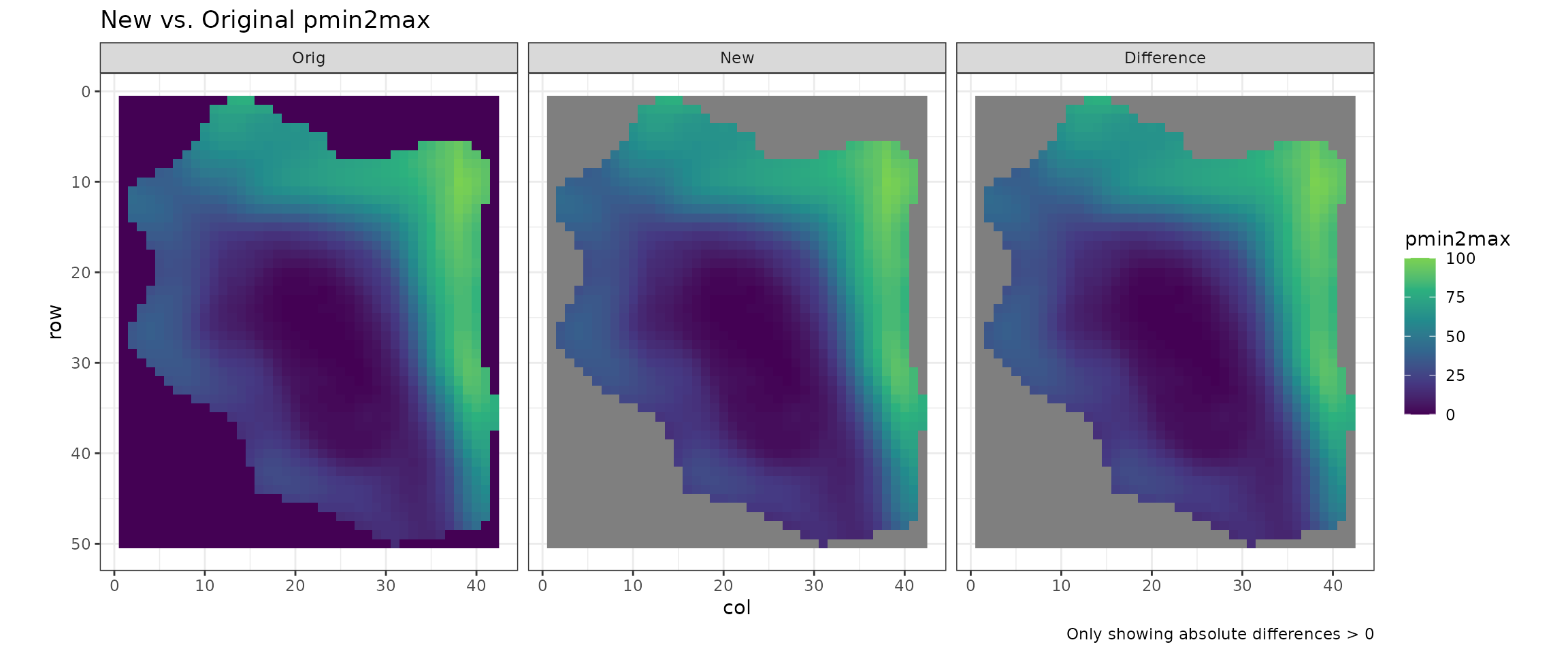
Visual Comparison of Form
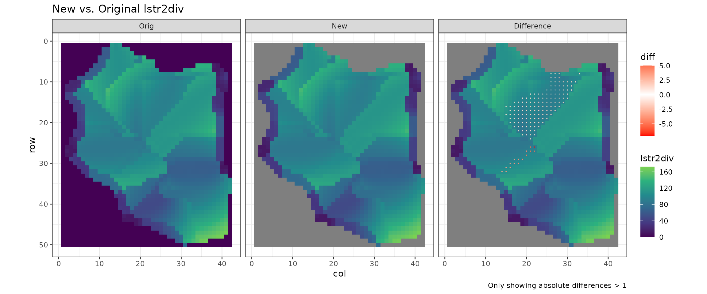
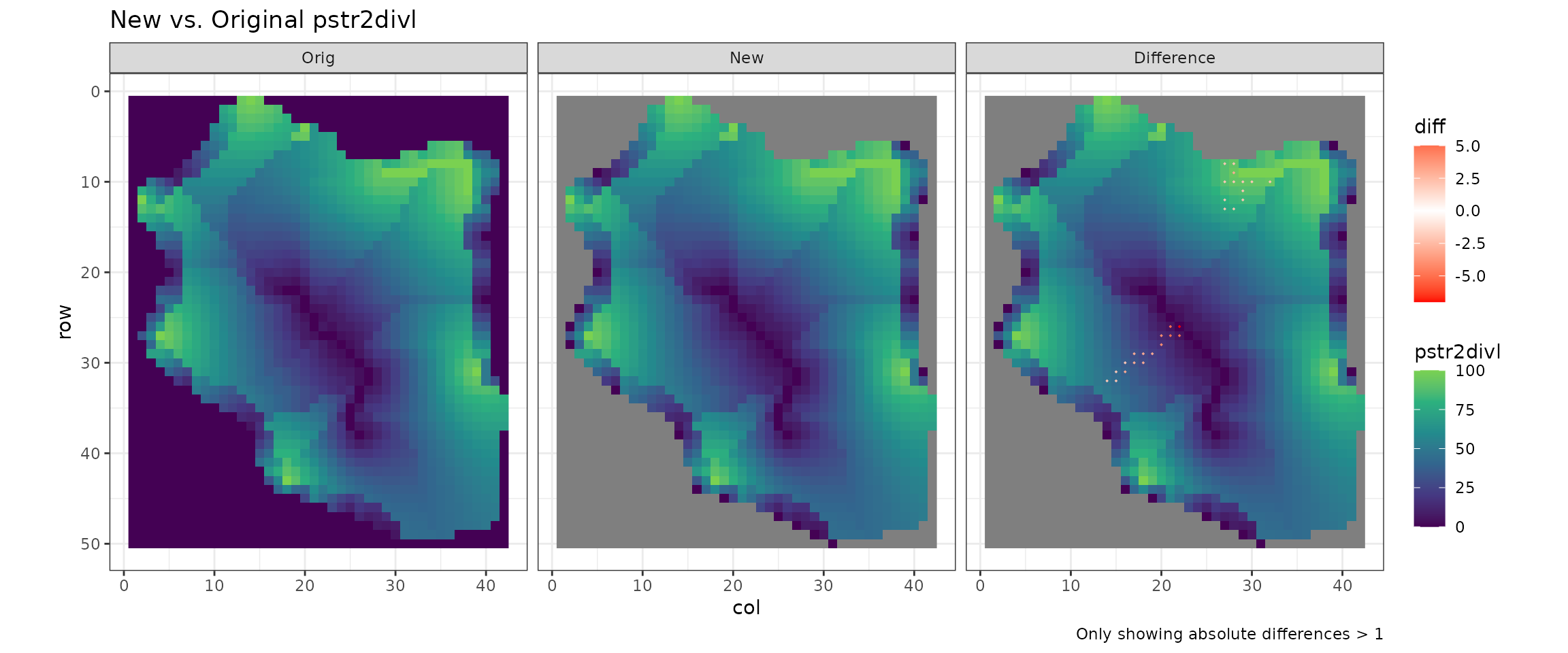
Original vs. New Length values
NOTE
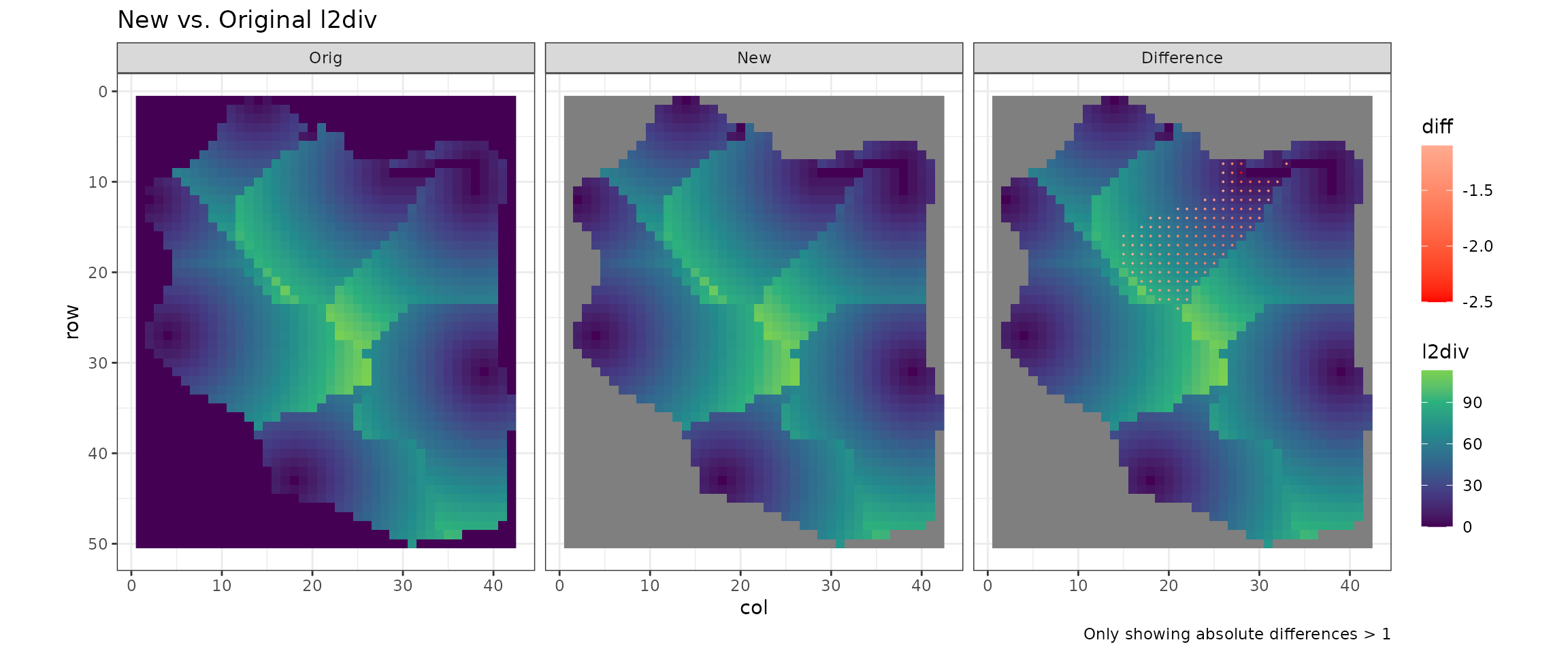
Length to divide (
l2div) is the distance from the focal cell to the nearest crest cell.In the original Fox Pro version, this is calculated by first getting the ‘flat distance’ (focal row/col to crest row/col), and then accounting for elevation by using
z2cr(the elevation difference between focal and crest cells).However, in the C++ version
z2crwas changed to thez2peak, which is the elevation difference between the focal cell and the nearest peak cell. I believe is incorrect; therefore LITAP uses the original calculation with distance to nearest crest cell (z2cr).This results in discrepancies between LITAP and FormMapR for
l2div,lstr2div, andpstr2divl.


